![]()
![]()
![]()
|
|
|
|
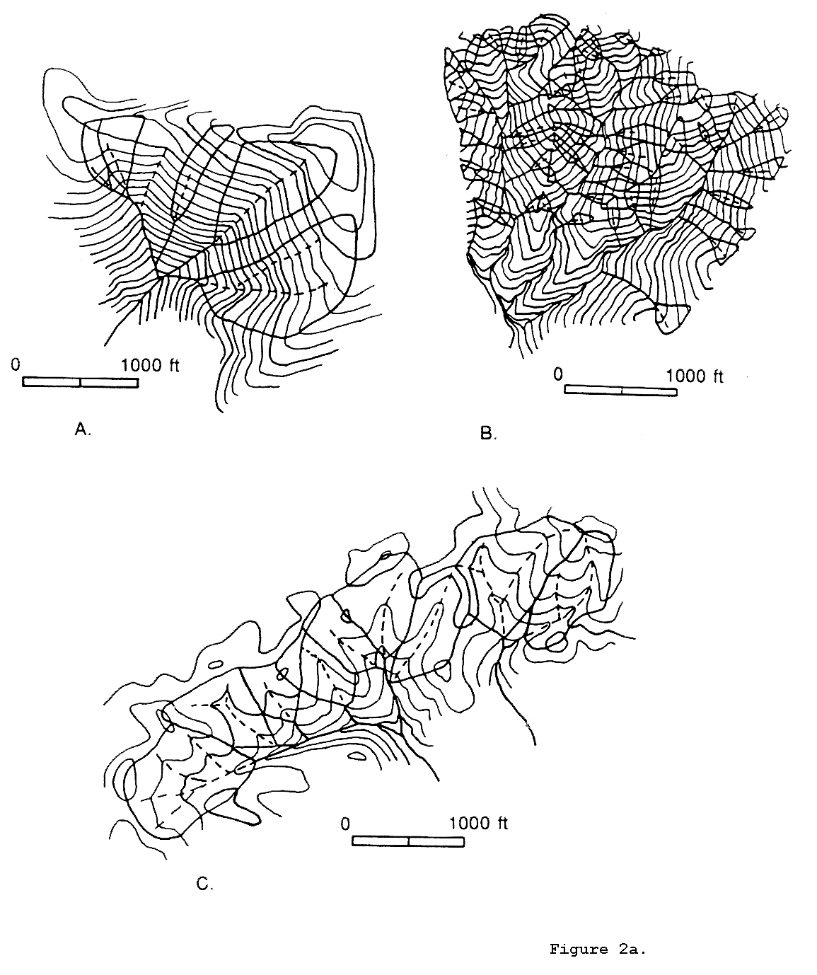
Figure 2a. Channel networks (solid line), source basins (outlined with solid line), and hollow axes (dashed lines) determined from field work in three landscapes. Maps are portrayed at the same scale with 40-foot contour intervals. (A) A portion of the Rock Creek catchment, central coastal Oregon. Due to the dense old-growth coniferous canopy the fine scale topography is not accurately mapped even in the most recent 1:24,000-scale mapping (US Geological Survey, 1984). Consequently, the contours do not reveal all unchanneled valleys. (B) A portion of the Fern Creek catchment, San Dimas Experimental Forest, southern California. Redrawn from a map made by Maxwell (1960). (c) Southern Sierra Nevada. (from Dietrich and Dunne, 1993).
|
|
Copyright 1998, William Dietrich and David Montgomery
|